Pacific Crest Trail | 2,650 Miles to Rediscover Yourself
2,650 Miles — A Journey Beyond the Ordinary
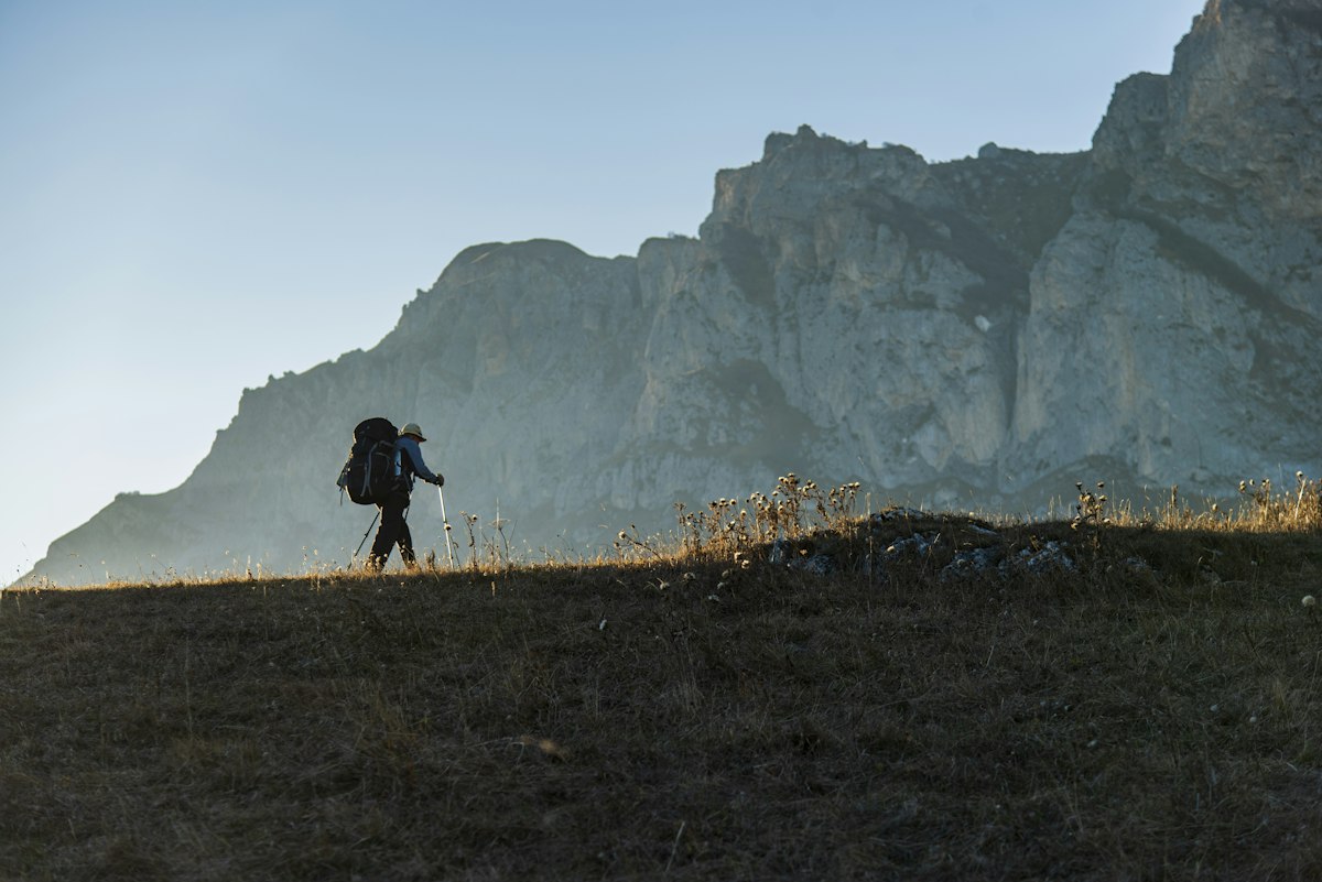
A lone hiker stands before a small monument at the Mexican border, carrying a backpack packed with a tent, a sleeping bag, and several days of food. The destination is the Canadian border, some 2,650 miles away. Winding through the mountains of California, Oregon, and Washington, this is the Pacific Crest Trail, or PCT. Some come for adventure. Others come looking for a new direction in life.
A Trail That Began with One Woman’s Vision
In 1926, Washington educator Catherine Montgomery proposed an idea to mountaineer Joseph Hazard: a walking route following the western mountain ranges from Canada to Mexico. In the 1930s, Clinton C. Clarke helped turn that vision into a more concrete plan, while mountaineers and young explorers surveyed the route. The PCT was designated a National Scenic Trail in 1968, and the completion of its last major connecting section was celebrated in 1993. What began in one woman’s imagination became a reality through the efforts of countless people.
From Mexico to Canada, Through Three States
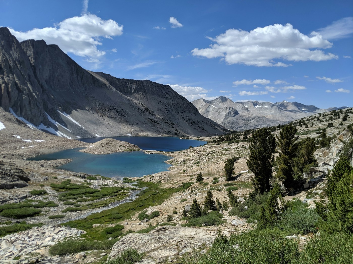
The northbound journey begins at the Mexican border near Campo, California. Beyond Southern California’s dry mountains and desert landscapes lie the granite peaks, snowy passes, and alpine lakes of the Sierra Nevada. In Oregon, the trail passes through conifer forests and volcanic terrain, with deep blue views around Crater Lake. Farther north, Washington’s North Cascades lead hikers through rugged mountains and deep valleys toward the Canadian border. Walking the entire route in a single journey, known as thru-hiking, usually takes four to six months, though weather, fitness, wildfires, and snow conditions can greatly affect that timeline.
Three States, Changing Landscapes:
From California to Washington
The PCT is one trail, but the landscapes—and the demands of each day—change from California to Oregon to Washington. Let’s follow it north from the southern border.
California — From Desert to Snowy Peaks
No single landscape can capture California’s stretch of the PCT. At the beginning, the days are filled with fierce sunshine and the scent of dry earth. Farther north, the air cools and the mountains take on a different character. Before the miles on a map mean very much, a hiker learns the weight of a bottle of water and the value of a patch of shade.
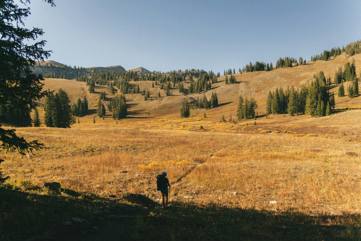
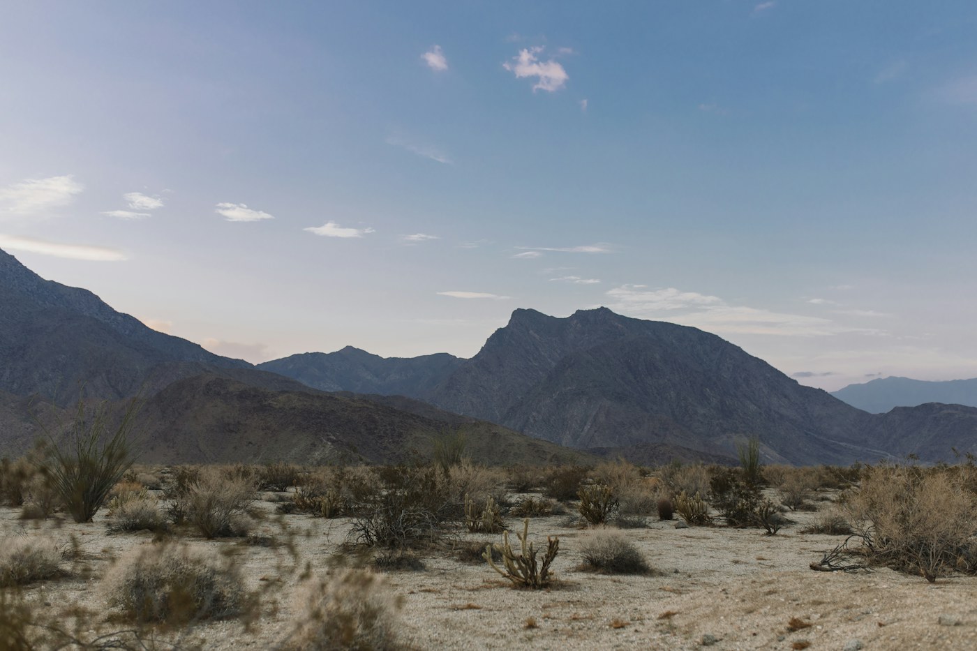
Heading north from Campo at the Mexican border, the first test is dry Southern California. The PCT does not simply cross sandy desert. It winds over arid slopes, through scrubland and canyons, and past small communities. Water sources can be far apart, so hikers must plan carefully for the distance to the next reliable supply.
Kennedy Meadows South is a symbolic gateway to the Sierra Nevada. Tawny hills give way to granite peaks, alpine lakes, and passes where snow may still cover the trail. Forester Pass, the highest point on the PCT, reaches approximately 13,153 feet (4,009 meters). Depending on the season, snow travel and powerful stream crossings can pose serious hazards.
California contains the longest portion of the PCT. Within a single state, hikers move from desert country to snowy mountains. The first chapter of the journey is built from moments when today’s water supply and campsite matter more than the distant Canadian border.
Oregon — Forests and Volcanoes
Crossing into Oregon, the trail seems to grow quieter. Tall trees filter the sunlight, and needles and soft earth cushion the ground. After California’s demanding passes, these forests may feel like a respite. Yet the long journey continues.
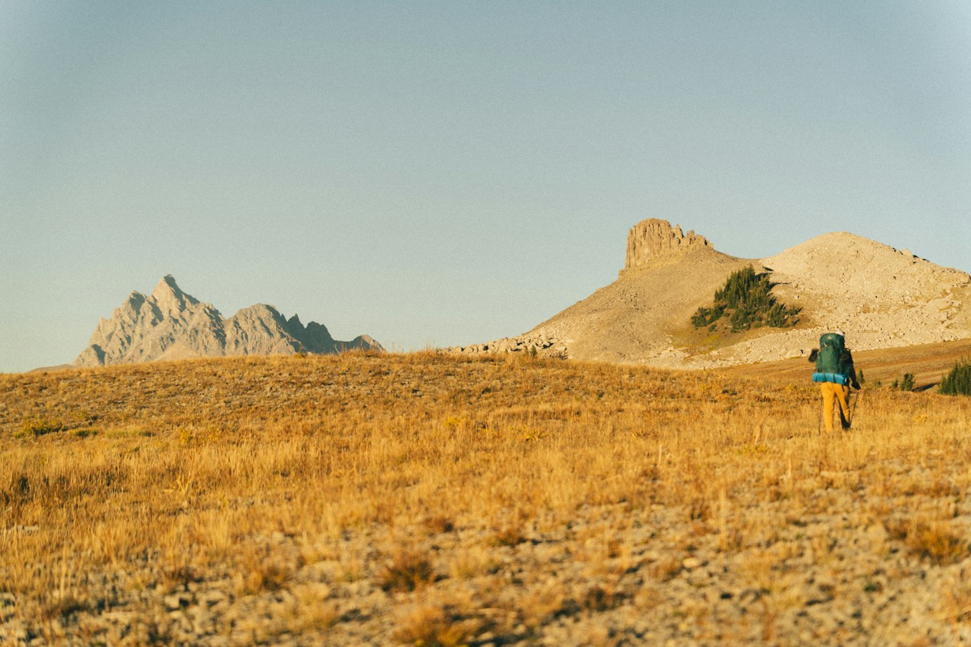
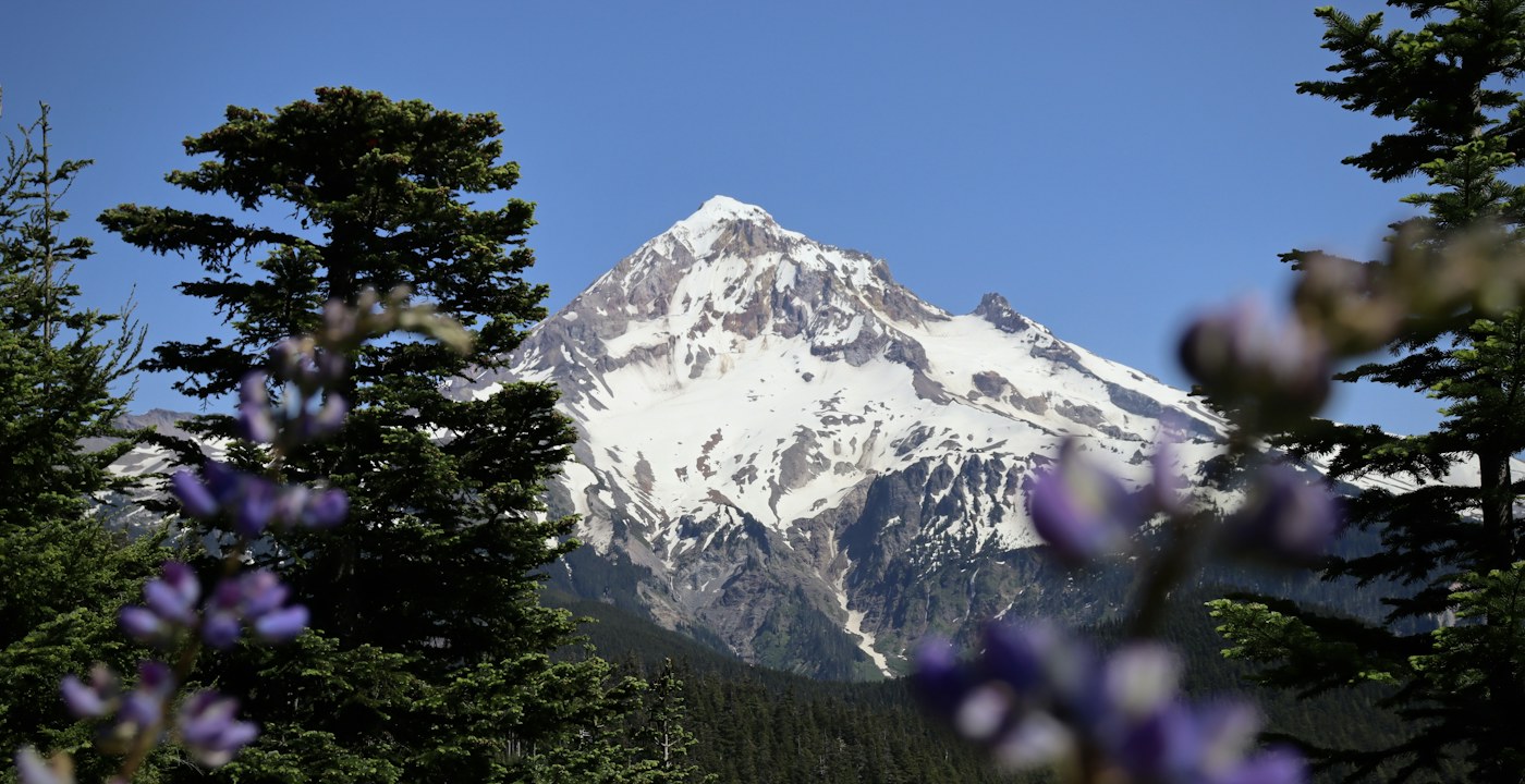
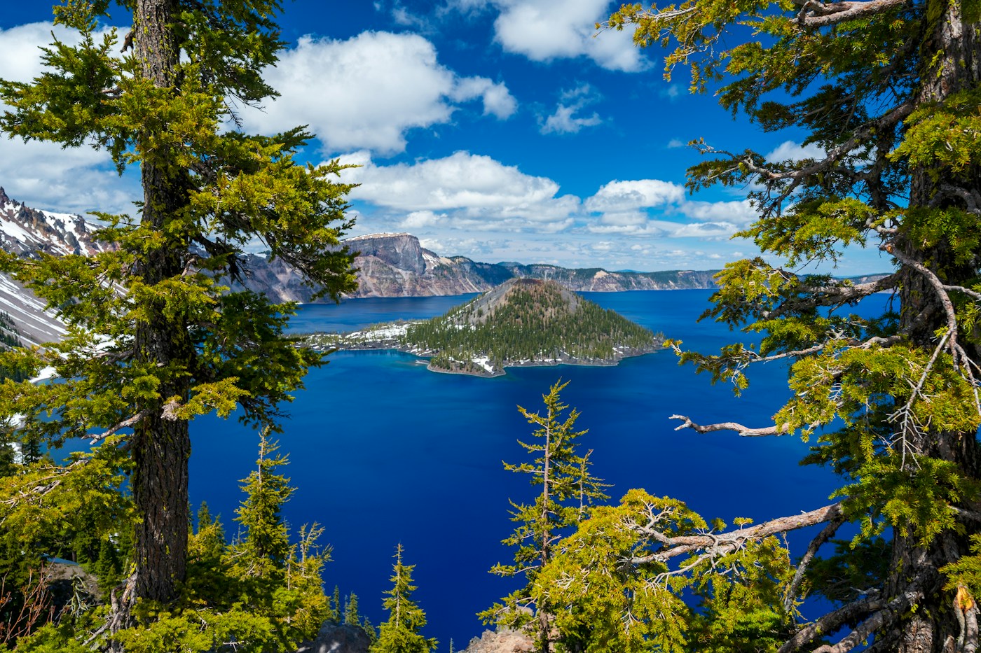
The colors of the landscape change in Oregon. Conifer forests and ancient volcanic terrain stretch ahead, and gentler sections sometimes allow hikers to cover more miles in a day. Summer mosquitoes, fallen trees, wildfires, and limited water can still make the going difficult.
Crater Lake is one of the region’s defining sights. Formed when water filled a caldera left by a volcanic eruption and collapse about 7,700 years ago, it is the deepest lake in the United States. Connecting routes near the PCT offer views of its intense blue water. Farther north, the volcanic peaks of the Three Sisters and Mount Jefferson rise above the landscape.
Pack up the tent in the morning. Walk. Resupply in town, then return to the forest. A simplicity that once felt unfamiliar gradually becomes ordinary. Oregon is where the rhythm of a long journey begins to settle in.
Washington — The Final Miles to Canada
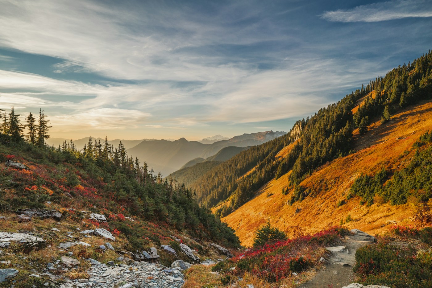
Entering Washington brings both the excitement of nearing the end and the tension of the final mountain miles. Beyond each ridge lies another range, and views that seem boundless on a clear day can disappear into cloud and rain. Even after months of walking, this last stretch is no easy finish.
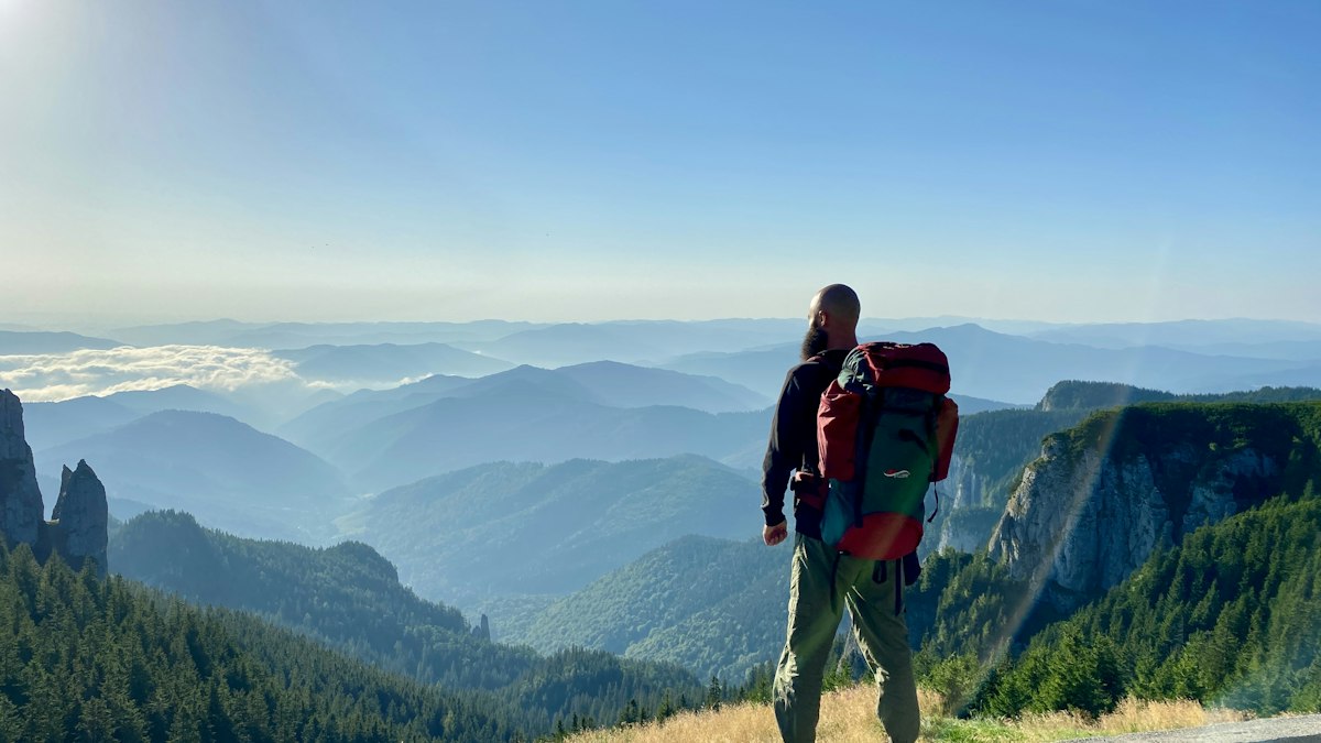
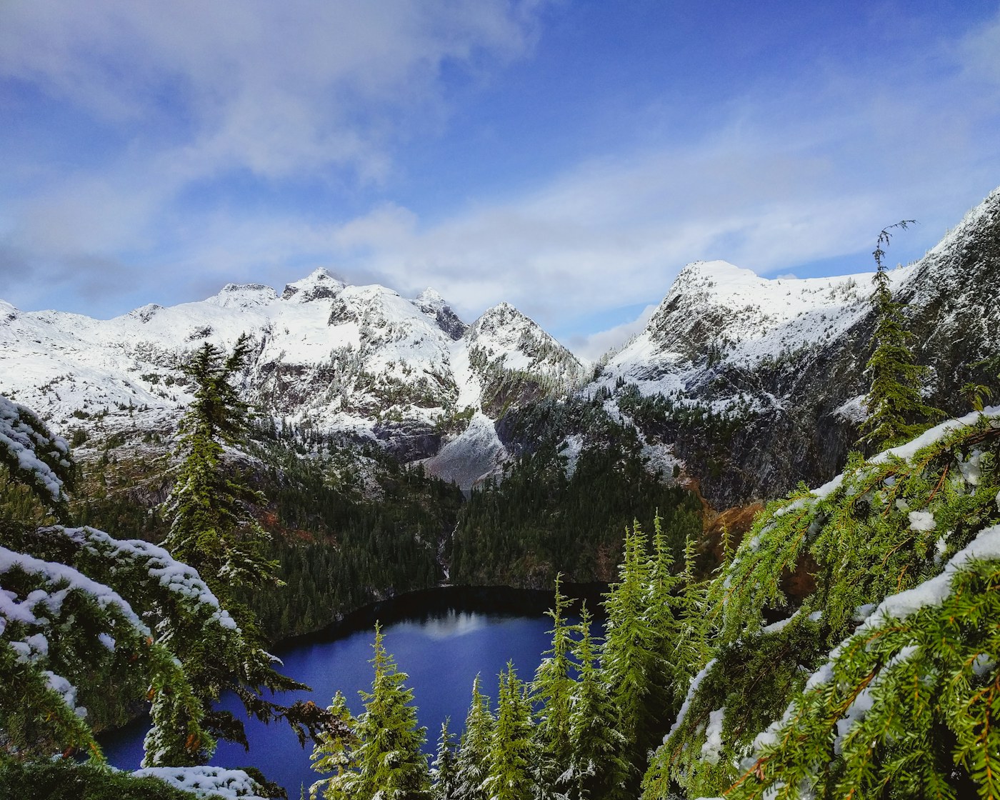
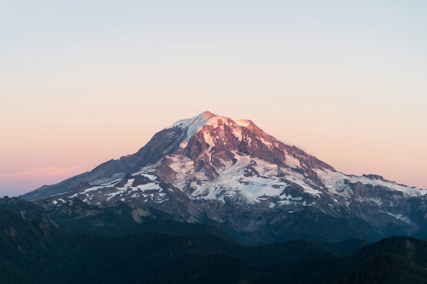
Crossing the Columbia River on the Bridge of the Gods marks the entrance to Washington. This is where Cheryl Strayed’s journey ended. For hikers continuing toward the PCT’s northern terminus, it is the beginning of the final chapter.
Ahead lie the narrow ridges of Goat Rocks Wilderness, Glacier Peak, and the rugged terrain of the North Cascades. For northbound hikers arriving in late summer or early fall, rain, cold, and early snow can change the journey. The small community of Stehekin, which has no road connection to the outside highway system, is an important place to rest and resupply.
At last, a modest monument marks the Canadian border. There is no grand finish line. But the desert afternoons, forest dawns, and cold mountain winds have become part of a single journey. Those 2,650 miles are no longer just a number on a map. They are months of life traveled on foot.
Is There Really a Trail for All 2,650 Miles?
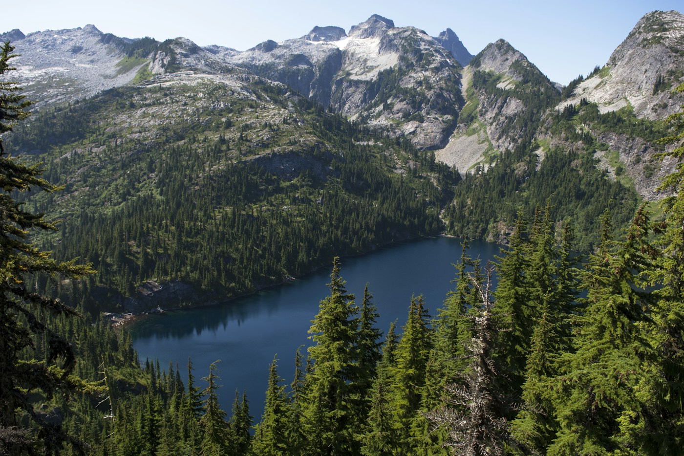
The PCT is an officially connected hiking route, but that does not mean a neatly maintained path stretches uninterrupted from beginning to end. Much of it follows a dirt trail, yet snow can bury the way, while rocky terrain and erosion can make the route difficult to trace. Wildfires and landslides sometimes require detours. Hikers rely on maps, GPS, and current trail reports. The route exists, but nature does not always leave it visible. Walking the PCT means adjusting your plans to a changing landscape.
What Does Life on the Trail Look Like for Five Months?
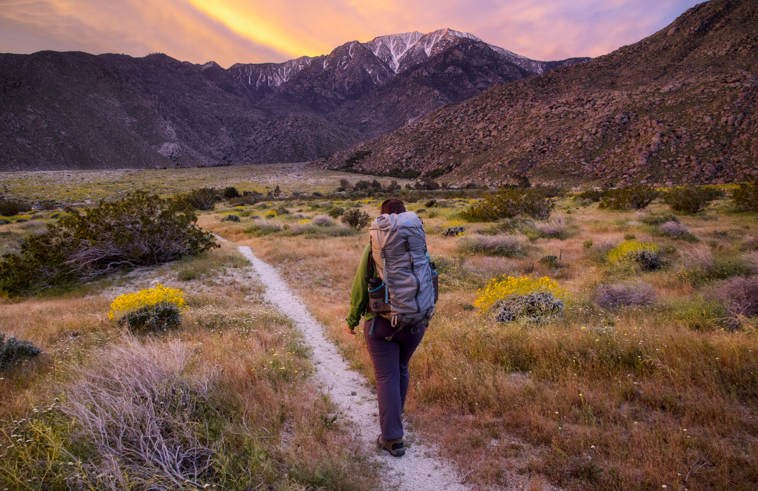
Each morning, you pack up your tent and shoulder your backpack. After a day of walking, you find somewhere to camp. Every few days, you head into town to buy food or collect supplies sent ahead. A hot meal and a shower become small luxuries. Total costs vary widely with gear and personal choices; some hikers plan on roughly $8,000–$12,000 or more. The trail also has a tradition known as trail magic: unexpected acts of kindness, such as a stranger offering water, food, a ride, or a place to rest. The people who offer that help are often called trail angels. You may walk alone, but the journey is rarely made entirely on your own.
Can Anyone Walk This Trail?
You do not have to hike the entire PCT. You can walk for a day or a few days, or complete separate sections over several years—a practice known as section hiking. Fitness, suitable gear, reliable water planning, navigation skills, and sound weather judgment all matter. Snow-covered passes, fast-moving streams, extreme heat, and wildfires can present serious dangers. Permit requirements depend on your route and the nature of your trip, so check official guidance before setting out. There are many ways to experience the PCT, but none should be taken lightly.
Why Do People Walk So Far?
Months away from home. Walking every day, sleeping in a tent, and shouldering the same backpack again the next morning. To some, it sounds exhausting. To others, that simplicity is a kind of freedom. The job title and status that mattered in the city cannot walk the mountain trail for you. What remains is your own two feet, the resolve to get through the day, and the landscape before you. Finishing the PCT may not transform everyone’s life. Yet perhaps those who spend that long on the trail discover they can go much farther than they once imagined.
Wild — One Woman’s Journey Alone

The 2014 film Wild is based on Cheryl Strayed’s real-life experience. In 1995, after her mother’s death, the breakdown of her marriage, and a period of turmoil, she set out alone on the PCT. With little long-distance backpacking experience, she faced an overloaded pack, injured feet, loneliness, and fear. She walked roughly 1,100 miles (1,770 kilometers), rather than the full length of the trail, beginning near the Mojave Desert and finishing at the Bridge of the Gods on the Oregon–Washington border. The trail did not solve every problem, but it gave her time to see herself anew.
Sources and trip information: Pacific Crest Trail Association (PCTA). Check the latest permit requirements and safety notices before your trip.